Aguilar De Campoo
- Home → Trails Montaña Palentina → Aguilar De Campoo
El Pisuerga renacido
(The reborn Pisuerga River)Route Description
Once you leave the Aguilar reservoir behind, the Pisuerga River comes to life in a landscape that combines elements of both urban and rural areas.
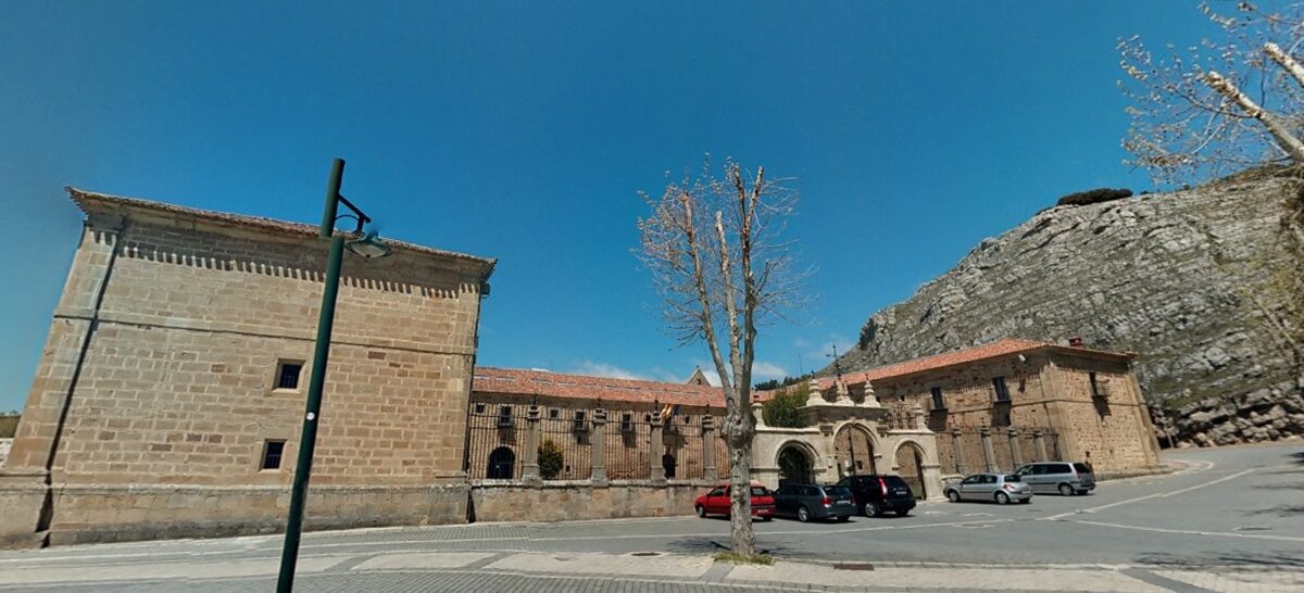
The route suggests starting at the Santa Maria la Real Monastery. In the beginning, we circle around the monastery grounds and head towards the “Paseo de los Cinco Caños” which leads to a park at the base of the reservoir dam. Here, we cross the river using a wooden footbridge and return to Aguilar along the right bank, passing through pine forests and groves of poplar trees.
When we reach the Main Bridge (Puente Mayor), we continue along the “Camino de las Claras” and make our way back along the riverbank, almost beneath the old bypass road. Continuing along the Pisuerga, we pass by the Sewage Treatment Plant and under the viaduct of the A-67 highway. Shortly after, we take a path that leads to the fish farm. We proceed straight ahead amidst cultivated fields until we reach the river again, and among the poplar groves, we arrive at the bridge that crosses the Pisuerga at the entrance of Villaescusa de las Torres.
Without entering the village, we turn left onto the track in a northerly direction, in search of the wooden footbridges that cross the Camesa River. We follow the course of the Pisuerga, passing through poplar groves and cultivated fields until we cross the A-67 highway near the industrial estate. Upon reaching a roundabout, we turn left, cross the Cuérnago River and the old bypass road, and make our way back to the urban area along the “Paseo del Soto”.
At the Sports City (Ciudad Deportiva), we cross the Pisuerga again using a footbridge and continue north along the “Paseo de Santa Clara” until we reach the Main Bridge, which we now cross. After passing in front of the Casa de los Ruizes, we cross the Barbacana Gate, granting us access to the wide promenade that leads us back to the Santa Maria la Real Monastery.
Route Data
Difficulty
Easy
25%Approximate Time
- 1 Hour 20 minutes
Distance
- 13,4 Km
Elevation Gain
- 104 Meters


