Santibáñez De La Peña
- Home → Trails Montaña Palentina → Santibáñez De La Peña
Paseando con ‘la Robla’
(Strolling with 'La Robla')Route Description
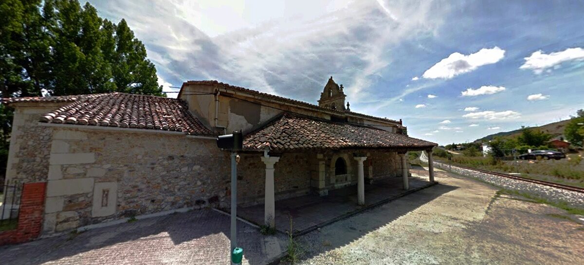
The La Robla railway line was built in the late 19th century with the aim of efficiently and economically transporting coal from the mining basins of León and Palencia to the powerful iron and steel industry in Biscay. “El hullero” as it was colloquially known, revitalized the economy of the mining basins in the north of León and Palencia during the 20th century. The La Robla railway, with its 335 km length, is the longest narrow-gauge line in Western Europe and is considered one of the most emblematic railways in Spain.
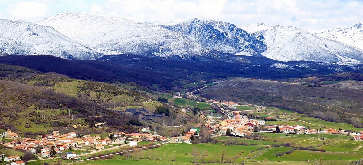
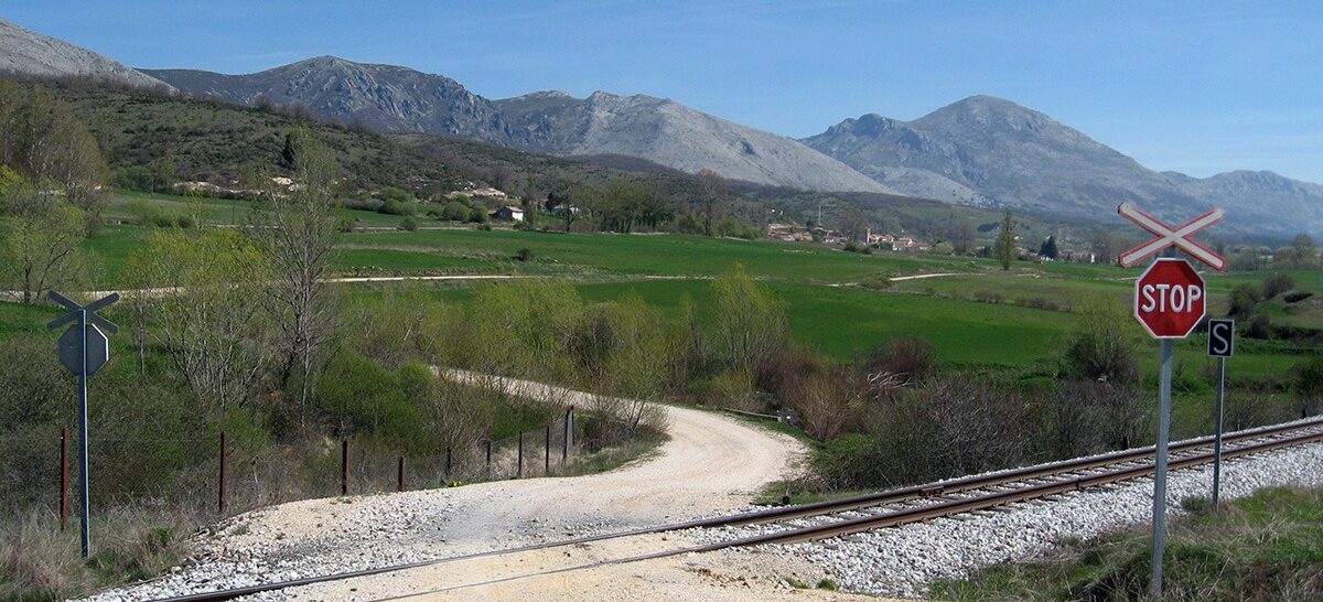
We start the route heading east to climb to the vicinity of the Castro de la Loma (an archaeological site) and then descend to Aviñante, a town that we will cross heading south towards the small valley of Arroyo de Villafría. After crossing it, we will follow alongside the railway line, gently descending until we reach the remains of Pozo Pedrescales. Here, we will cross the tracks and, after a small detour to Oterillo, we will reach the Villaverde-Tarilonte stop.
We continue heading east, always parallel to the tracks, until we reach Tarilonte and its naturally formed lagoon, which serves as a resting place for numerous migratory birds. After visiting Tarilonte, we cross the road and head north to the town of Velilla de la Peña, then continue west to the neighboring Villaverde de la Peña. Here, the path includes constant ups and downs and zigzagging until we reach the fish farm of Villafría de la Peña and ascend to its beautiful spring.
We descend on the road to Aviñante until we meet “La Robla” again, but before the bridge over the tracks, we turn right onto the track that will take us to the town of Santibañez de la Peña. At this point, we suggest visiting the ruins of the Monastery of San Román de Entrepeñas. After a short stroll through the streets, we cross the tracks once again next to one of the 12 tunnels of the railway line to reach the neighborhood of Estación de Santibáñez and the town of Las Heras.
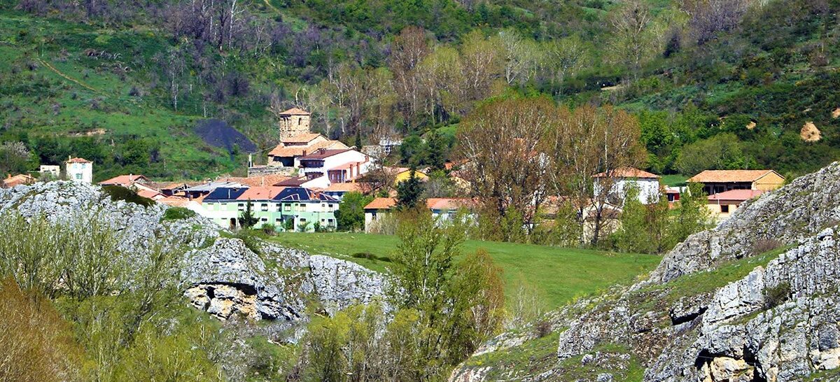
After crossing the road at the level crossing, the track takes us westward to Villanueva de Arriba. After wandering through the village and visiting Cuevona, we return to the starting point via another parallel track that we have previously traveled.
Route Data
Difficulty
Difficult
85%Approximate Time
- 3 Hours 25 Minutes
Distance
- 34 Km
Elevation Gain
- 669 Meters
