Vallespinoso De Aguilar
- Home → Trails Montaña Palentina → Vallespinoso De Aguilar
The hermitages of the Aguilar reservoir


Route Description
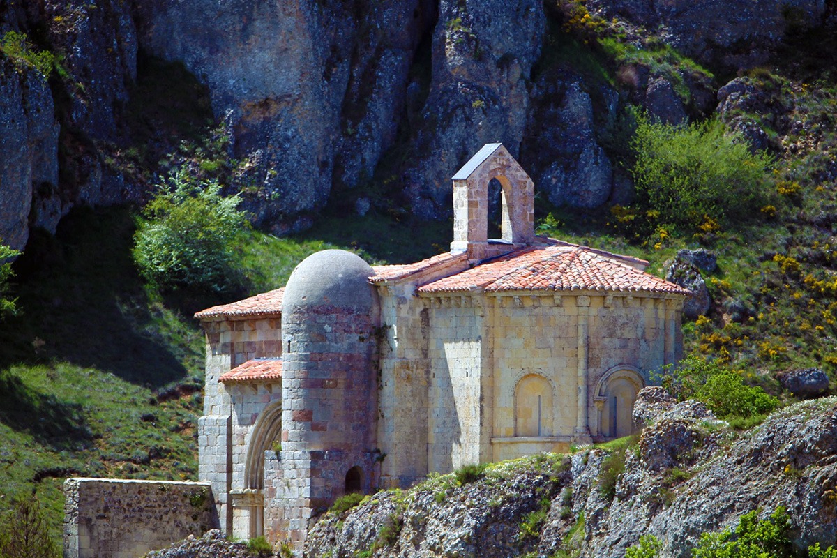
On the western shore of the Aguilar reservoir (1964), we find one of the largest and finest concentrations of Romanesque art in Palencia. It consists of a group of hermitages built in the late 12th and early 13th centuries.
Starting from Vallespinoso de Aguilar and its hermitage of Santa Cecilia, we head east along the old road that connected to Aguilar. As we pass by the church of San Julián and Santa Basilisa, we turn onto a small path that leads to a wider track. After crossing a small hill, we turn right in search of the road, which we cross to continue towards the abandoned village of Frontada.
We will travel across a wide plateau with beautiful panoramas and then descend almost to the level of the reservoir’s waters to reach the cemetery and the church of San Andrés de Frontada, the only witnesses to what this village once was before it disappeared under the reservoir waters.
Retracing our steps, just before reaching the road, we will descend along a small path that leads us directly to Foldada, and then continue north, first along the road and then along a track that runs parallel to the reservoir’s shore until we reach Barrio de San Pedro.
We will return to the road for about a kilometer until we find the detour to the hermitage of Santa Eulalia, near the town of Barrio de Santa María, where we will also find the parish church of the Assumption. At this point, we will follow the signposted path of the Natural Route of Romanesque Art, which will lead us back to Vallespinoso along a steep path next to Monte de la Cotorra. Alternatively, we can choose to return along the road to Foldada and from there go straight to Vallespinoso on a track.
Note: Along this route, you may find coinciding signage for the following trails:
- Natural Route of Romanesque Art in Palencia
- Cycling the Romanesque
Route Information
Difficulty
Easy
25%Approximate Time
- 2 Hours 12 minutes
Distance
- 21,6 Km
Elevation Gain
- 419 Meters