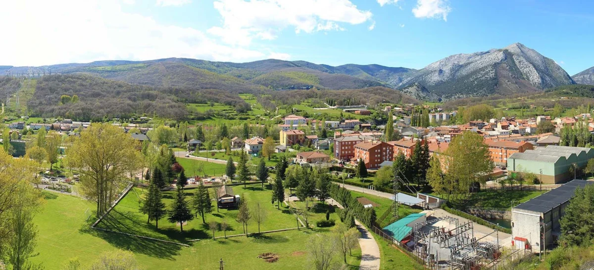
Velilla Del Río Carrión
- Home → Trails Montaña Palentina → Velilla Del Río Carrión
Las Fuentes tamáricas
(The Tamáricas Springs)Route Description
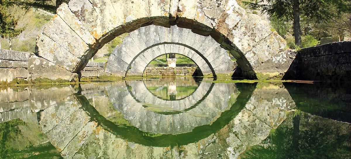
Between the Lampa and Mayor rocks, we can find different springs of water emerging from the limestone caves of the neighboring mountains. These waters were already revered by the first inhabitants of these lands, the Tamáricos, as noted by the Roman geographer and historian Pliny the Elder.
We start the route heading north in search of a track that will take us along the Carrión River to the Colonia Sierra del Brezo. Crossing the colony and following the road that leads to the village of Valcobero, we can visit (on foot) the native pine forest and further ahead, the huge Compuerto Reservoir dam.
We return back to the colony to cross the Carrión River through the well-known “el ahorcao” bridge and then leave the road to venture into a reforested pine forest through a track that will lead us to the Hermitage of La Virgen de Areños.
A few meters away, we will deviate uphill to an oak grove that divides the valleys of the Carrión River and the Grande or Besandino River, which we will descend through a small trail. After the descent, we walk along the river and return back to the oak grove.
The final part of the route is a small urban loop where we can visit the Trout Interpretation Center, and later, by crossing the pedestrian footbridge to the opposite bank of the river, we can admire tourist attractions such as the Reana Spring, the hermitage of San Juan, or the medieval bridge.
Note: Along this route, you may come across coinciding signage of the:
- Touristic MTB Route through the Mining Basins of Castilla y León.
Route Details
Difficulty
Easy
25%Approximate Time
- 1 hour 20 minutes
Distance
- 13,5 Km
Elevation Gain
- 198 meters


