
Route Description
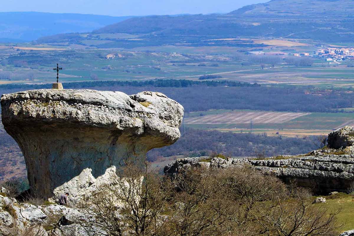
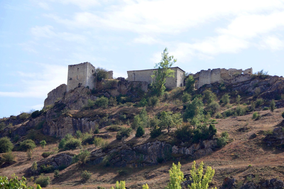
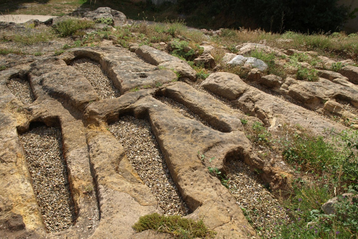
Over millions of years, the combined forces of air and water have shaped limestone rocks, creating a unique landscape known as “Las Tuerces”. This natural space is filled with fascinating karst formations, including large stone mushrooms, rocky passages, bridges, and arches.
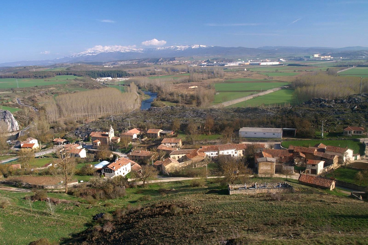
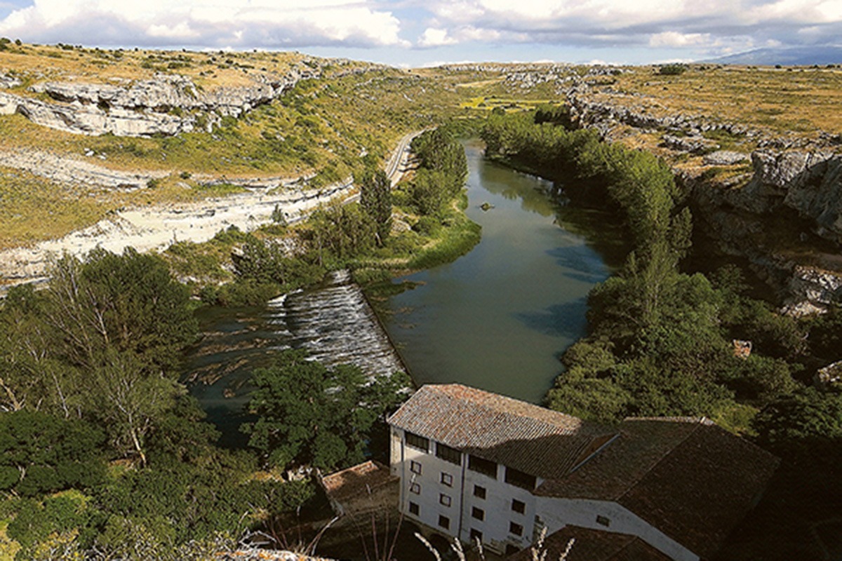
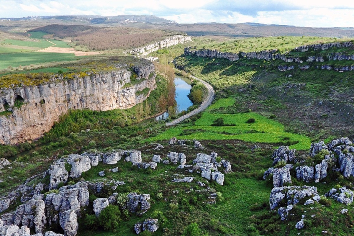
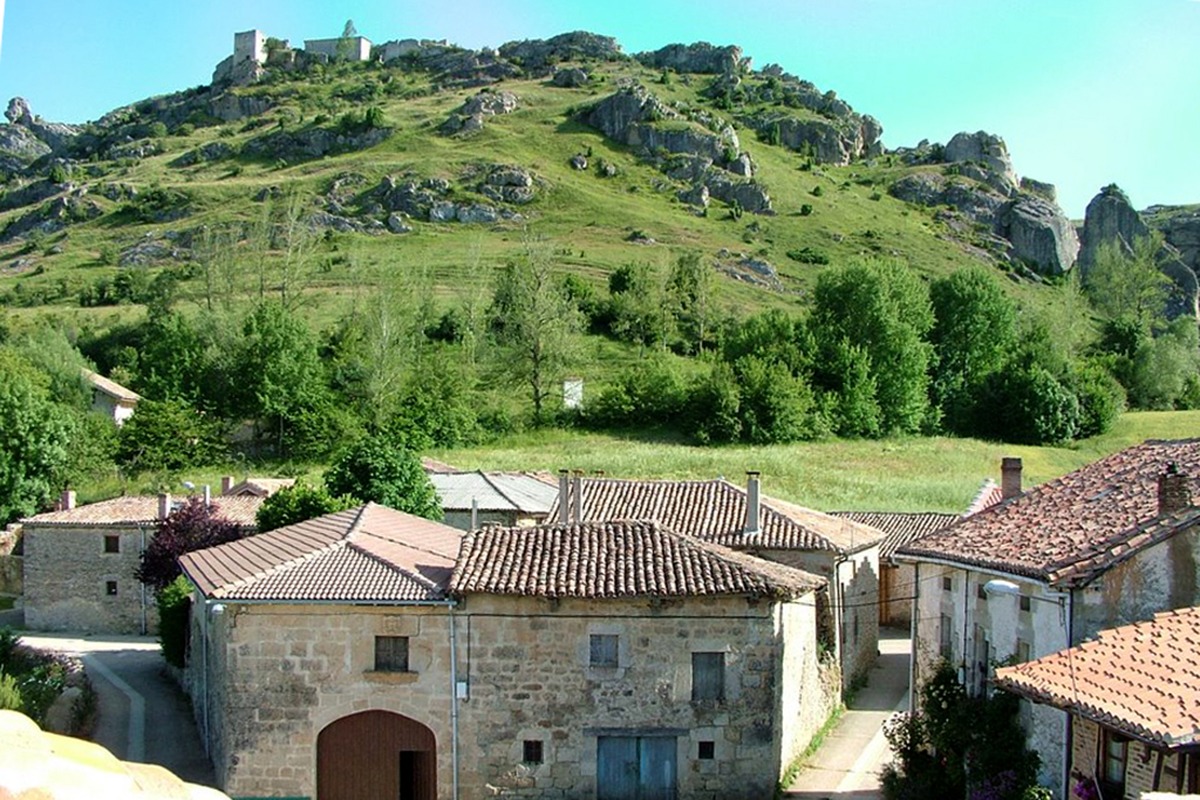
To start the route, we head towards the highest area of Villaescusa, searching for a trail that gradually climbs to an open area offering stunning views of the Palentina Mountain, the Pisuerga River, and the unique figures of Las Tuerces. We follow the trail southward, running parallel to the Pisuerga River and the railway line. Along the way, we make a brief detour to the right and reach a natural viewpoint overlooking the Horadada Canyon.
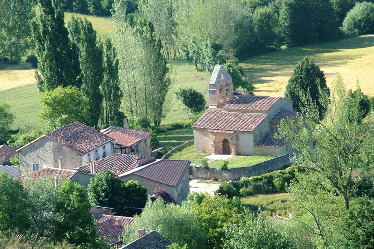
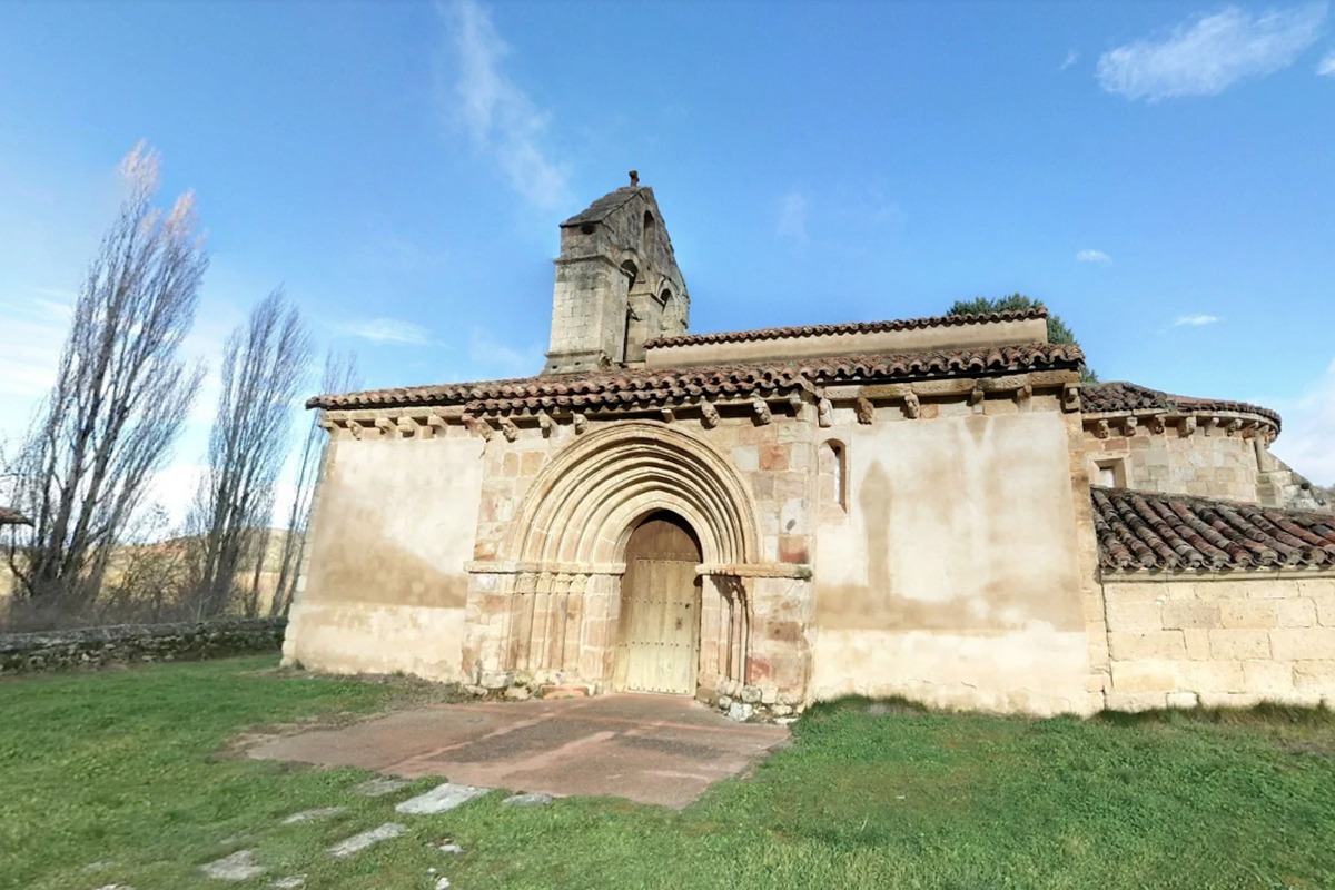
Returning to the previous junction, we continue the route southward, circling around Las Tuerces across a wide plateau with sparse vegetation, surrounded by vast fields until we reach the vicinity of the charming town of Gama. After passing through this beautiful town, we continue on a stretch of road for about a kilometer before turning onto a track that leads us to the town of Renedo de la Inera. We cross the Lucio River to reach our destination.
To return, we retrace our steps along the same track to the road. After a short ride on the road, we find a wide track that gently descends to the banks of the Camesa River, accompanying it in its final stretch before it merges with the Pisuerga River, close to Villaescusa de las Torres.
Difficulty
Approximate Time
Distance
Elevation
Utilizamos cookies propias y de terceros para fines analíticos y para mostrarte publicidad personalizada en base a un perfil elaborado a partir de tus hábitos de navegación (por ejemplo, páginas visitadas).